


Description
The Family Storybox believes understanding geography of the places, pillars and obligatory of Hajj helps children and adults to feel the sweetness of Hajj, the 5th Pillar of Islam.
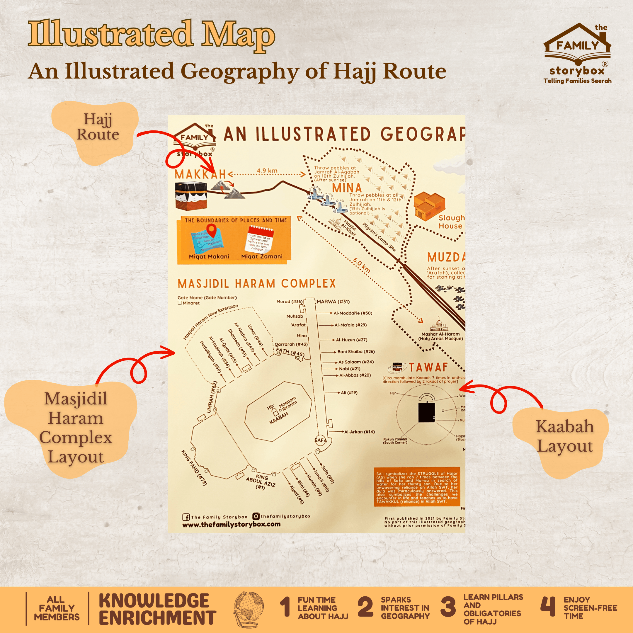
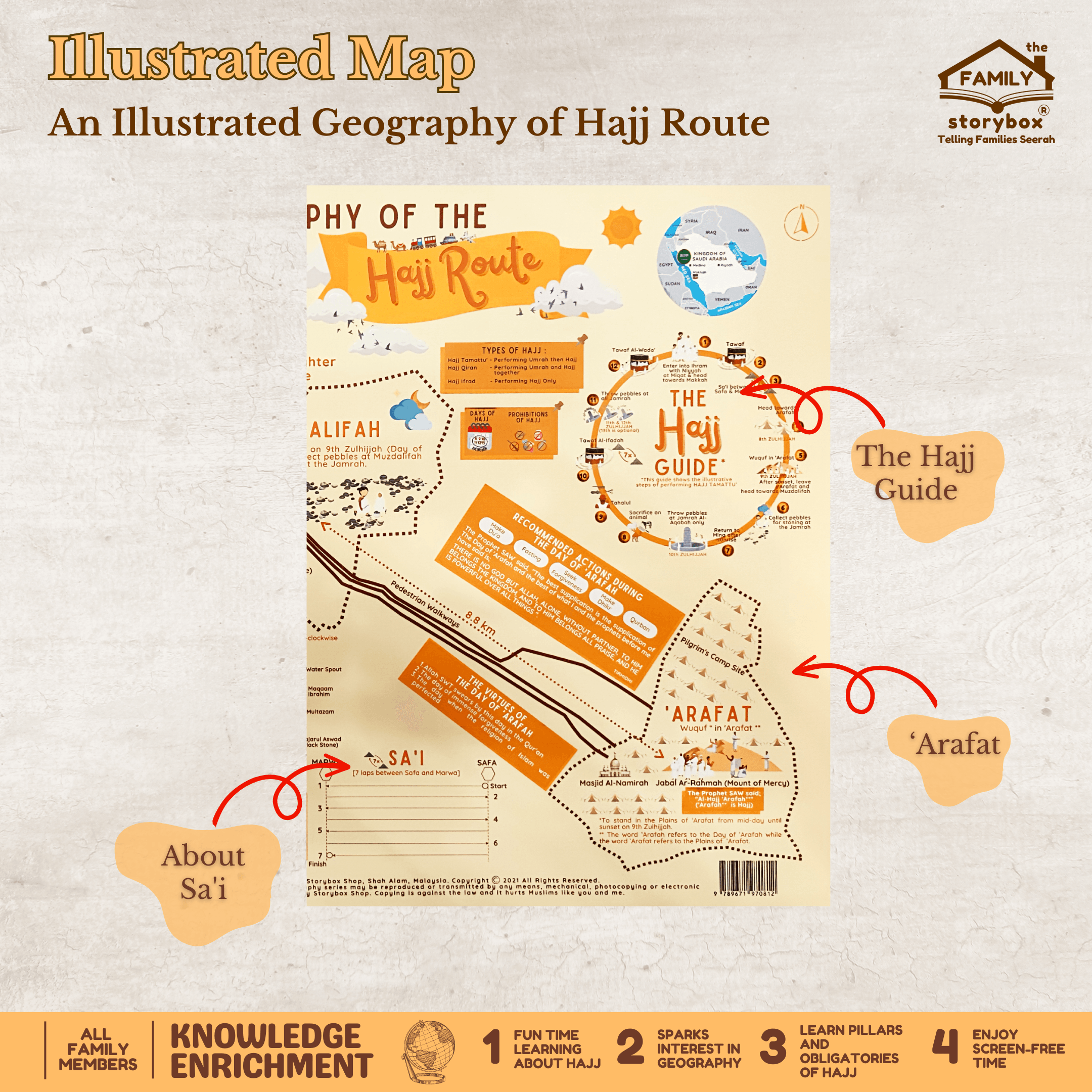
In this Illustrated Geography of Hajj Route, Makkah, Mina, Muzdalifah and ‘Arafat is illustrated complete with pedestrian walkway distance. The gates at Masjidil Haram Complex, the Ka’abah and Tawaf, the hills of Safa and Marwa and Sa’i are shown to assist children and adults visualise the servitude required while performing Hajj.
The illustrative steps to perform Hajj Tamattu’ is presented alongside the Hajj Guide. The pillars and obligatory required to be completed are described and beautifully shown at each location.
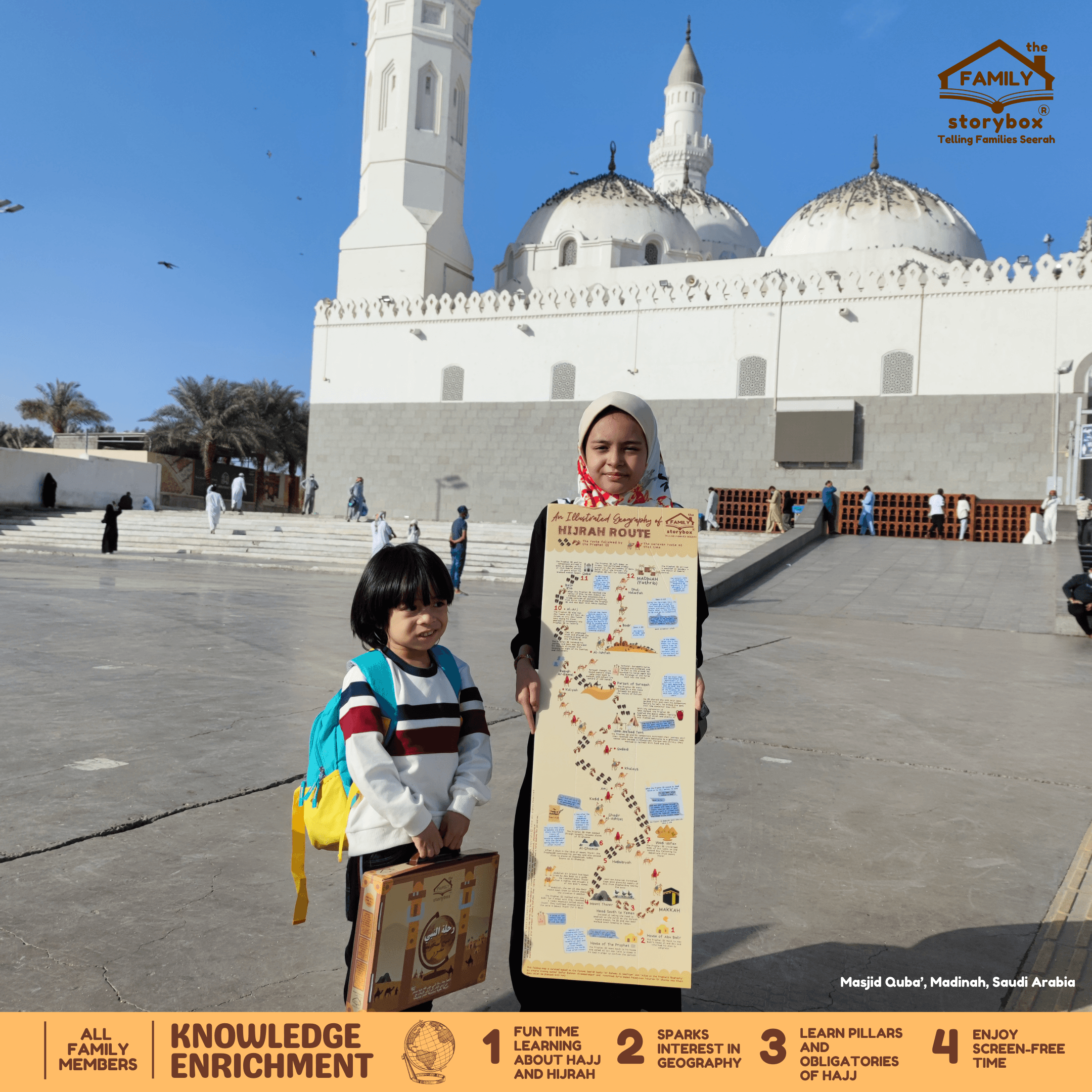
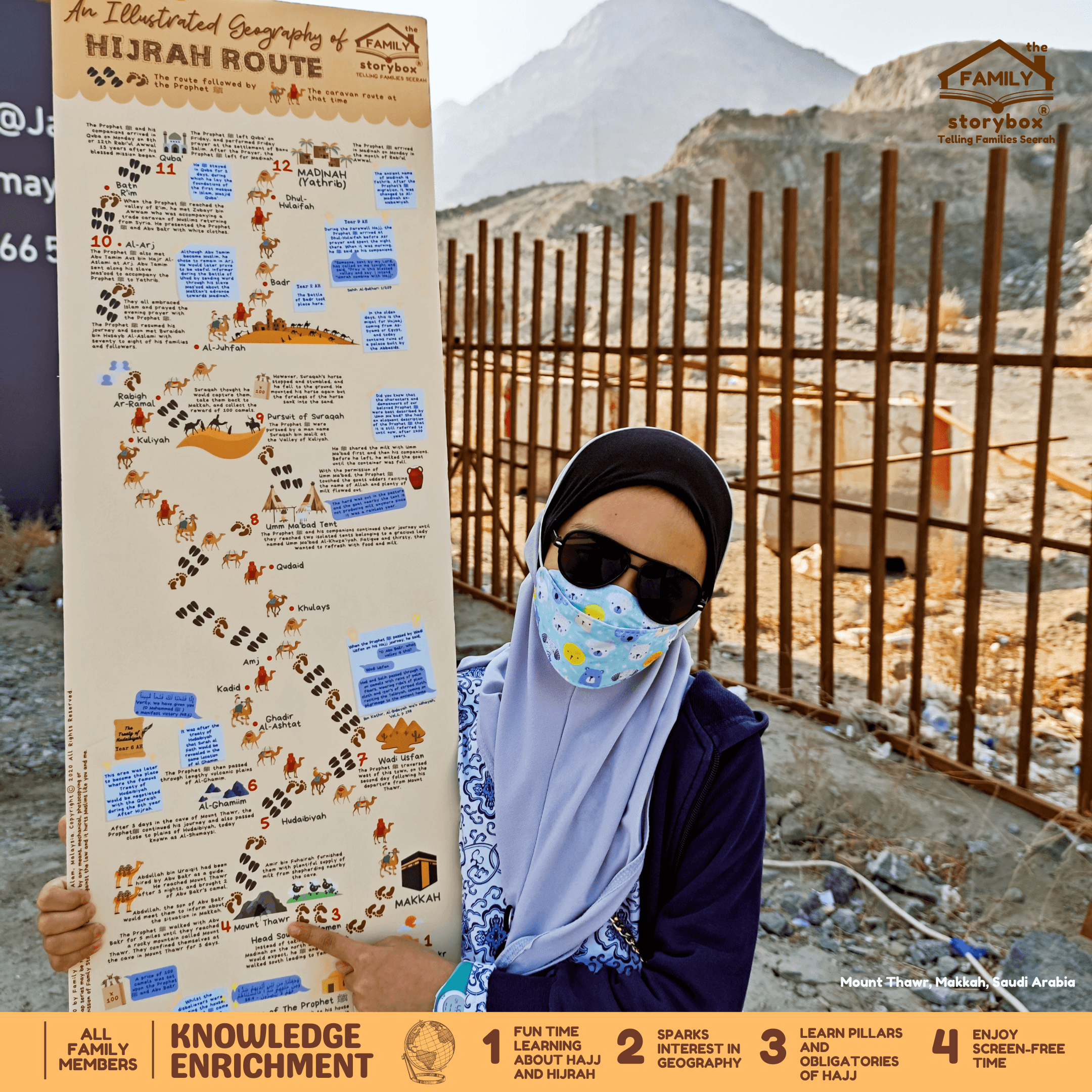
A tall folding map is included to illustrate the journey of the Prophet ﷺ from the city where he was born, Makkah, to Al-Madinah on the north of Hijaz. The map also includes significant landmarks and events during the Hijrah journey, including the events at Ummu Ma’abad tent and the pursuit of Suraqah.
Recommended actions during The Day of ‘Arafah and highlights of the virtues of this day are also included in this pack.
All maps can be laminated for frequent use or you can frame it for family treasure or for Hajj learning aid at home or school!


Reviews
There are no reviews yet.